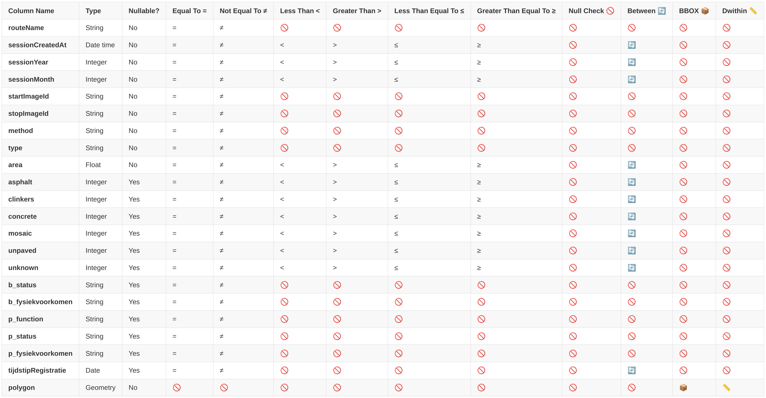
WFS Service Usage
Overview
Developers who wish to integrate with our WFS (Web Feature Service) endpoint, to ensure optimal performance and avoid overloading the system, it is essential to follow the guidelines provided below, particularly regarding bounding box (bbox) queries.
Guidelines for Bounding Box (bbox) Queries
When making requests to the WFS service, please avoid creating large bounding box (bbox) areas that exceed 50 square kilometers. Large bbox queries can significantly impact the performance and may result in the retrieval of multi-million features, which can be cumbersome to process and filter.
To prevent such scenarios, adhere to the following recommendations:
Maximum Bbox Area: Ensure that the bbox area does not exceed 50 square kilometers.
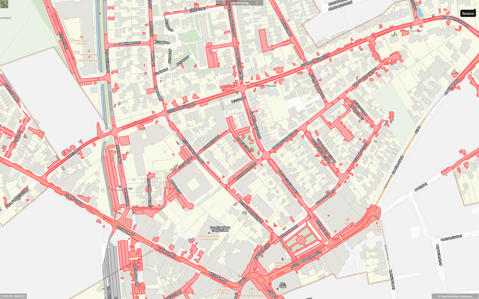
Starting Zoom Level: Use a starting zoom level of 20 meters when configuring custom layers in Street Smart, especially when dealing with surface types.
Feature Visibility: Features will begin to be visible from a zoom level of 500 meters. However, it is crucial to start at 20 meters to prevent overly broad queries.
Configuring a New WFS Layer in Street Smart
If you plan to use surface types on Street Smart by configuring a custom layer, please use the following configuration steps to ensure optimal performance:
Type: Set to WFS.
Layer Name: Enter the desired layer name (e.g., SurfaceType).
Version: Set the WFS version, for example, 1.1.0.
Styling Mechanism: Choose the appropriate styling mechanism, such as a .sld file.
Minimum Zoom Level: Adjust the minimum zoom level to 10 to control when the features start being requested. This helps in avoiding overly broad bbox queries that can cause performance issues.
Performance Considerations
Queries that cover a large geographical area result in the service attempting to process millions of features. This can lead to significant delays and may cause your requests to fail when filtering or limiting the result set.
By following the recommendations here, you can help ensure that your use of the WFS service is efficient and that the system remains responsive for all users.