Cyclomedia
Easily bring the power of our data
Discover our APIs and web services
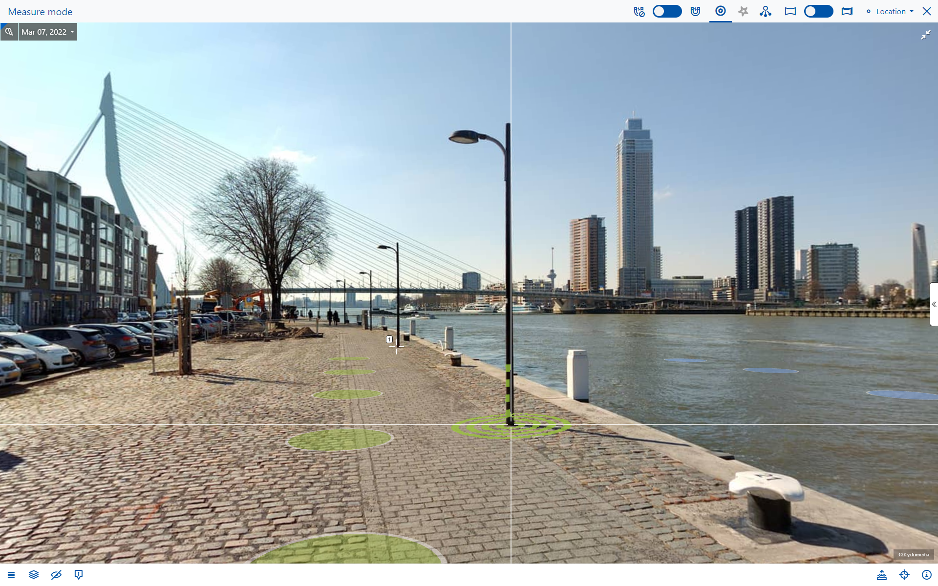
Street Smart API
Use all Cyclomedia’s imagery and LiDAR point clouds in an interactive viewer
Integrate Street Smart functionality, such as measuring and overlays
For integration with business applications, GIS, and CAD
Our most powerful API
Available for JavaScript and .NET

Panorama Rendering API
Render cut-outs of Cyclomedia panoramic images based on address or coordinates
Delivers JPG files for documentation, reports, and websites
Also suitable for texturing 3D models
Available as a REST service

Aerial Rendering API
Render cut-outs of aerial imagery (LuchtfotoNL) based on address or coordinates
Delivers JPG files for documentation, reports, and websites
Currently available for the Netherlands only
Available as a REST service

Aerial Map Service
Use aerial imagery (LuchtfotoNL) in your own mapping application
Currently available for the Netherlands only
Available as WMS, and TMS standards
Street Ortho Service
Show Street Ortho imagery in your own mapping application
Street Ortho is aerial imagery created based on street-level Cyclomedia panoramic images
Available as TMS standard
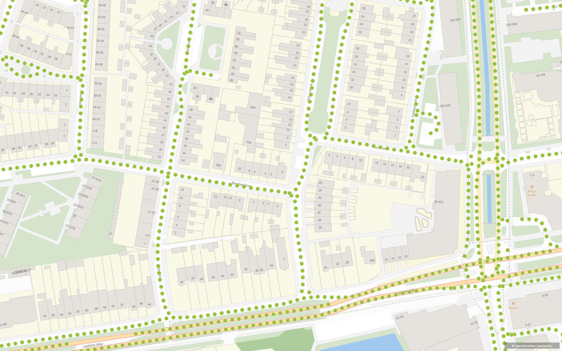
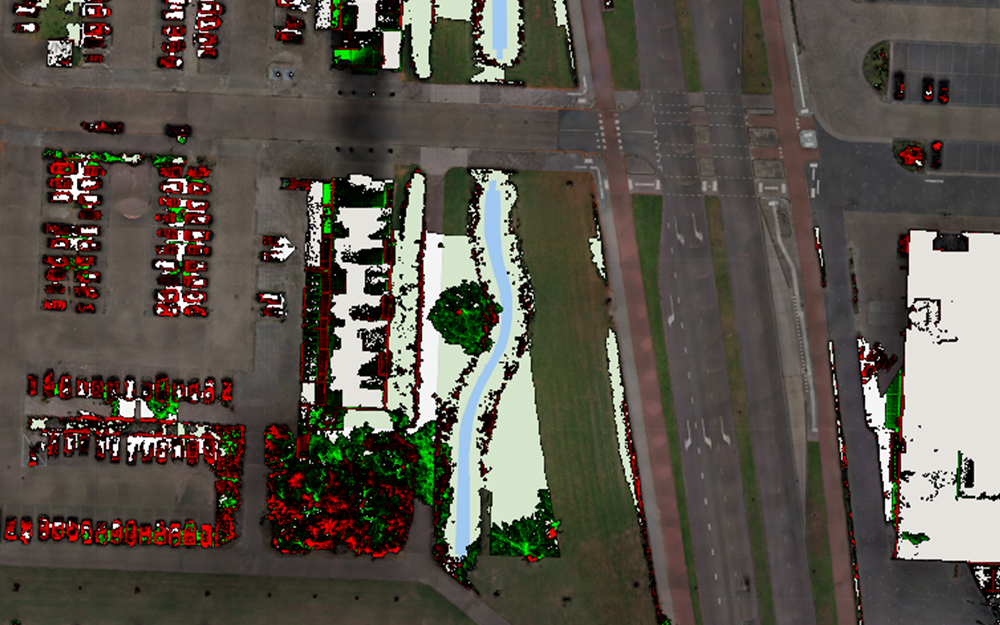
Recording Locations Service
Retrieve the locations of available imagery (the ‘recording dots’)
Intended for use in GIS integrations
Also includes Oblique recording locations in the Netherlands
Available as WFS standard
Explore existing integrations