Coverage Service

Identifying the areas for which we possess data can prove to be a somewhat laborious task. However, leveraging the coverage service, contingent upon the model or feature accessibility at hand, facilitates the straightforward determination of the precise locations where data capture occurred. This Coverage Service is accessible as a Web Feature Service (WFS).

Picture

Obtain credentials

Before you can start using the Recording Locations Service, you need to have credentials. If you do not have them yet, please use this form to request access.

Request your credentials
Picture

Read the documentation

Everything you need to know about the use of our Recording Locations Service can be found below in the Service Documentation.

Read the service documentation
Picture

View our examples

To help you getting started, we have created a set of code examples for you. You can use them as a basis for your own service requests.

Explore the code examples

Service Documentation

Filter capabilities

The Coverage Service offers filter capabilities that follow the OGC Filter Encoding Implementation Specification.

Geometry operators:

  • gml:Point

  • gml:Envelope

Spatial operators:

  • BBOX

  • DWithin

Comparison operators: (not available yet)

  • EqualTo and NotEqualTo

  • LessThan and GreaterThan

  • LessThanEqualTo and GreaterThanEqualTo

  • NullCheck

  • Between

Using the Coverage Service

The Coverage Service is a Web Feature Service (WFS) which can be accessed through this URL:

https://atlasapi.cyclomedia.com/api/featureserver/wfs

This WFS supports the following operations:

  • GetCapabilities

  • GetFeature

Both HTTP GET request and HTTP POST requests are supported.

Response

The output of a request can be given as Geography Markup Language (GML) version 3.1.1 or as GeoJSON. Default output is GML, but this can be changed using the ‘outputformat’ parameter. The application schemas can be retrieved by the URLs below.

Application schemas

GML application schema

To view the GML application schema, use this URL:

https://atlasapi.cyclomedia.com/api/featureserver/wfs?service=WFS&version=1.1.0&request=DescribeFeatureType&typename=atlas:[feature-type]

GeoJSON application schema

To view the GeoJSON application schema, use this URL:

https://atlasapi.cyclomedia.com/api/featureserver/wfs?service=WFS&version=1.1.0&request=DescribeFeatureType&typename=atlas:[feature-type]&outputformat=application/json

Feature types and properties

Feature Type 'ThirdPartyCoverage'

A feature of the type 'ThirdPartyCoverage' the following properties:
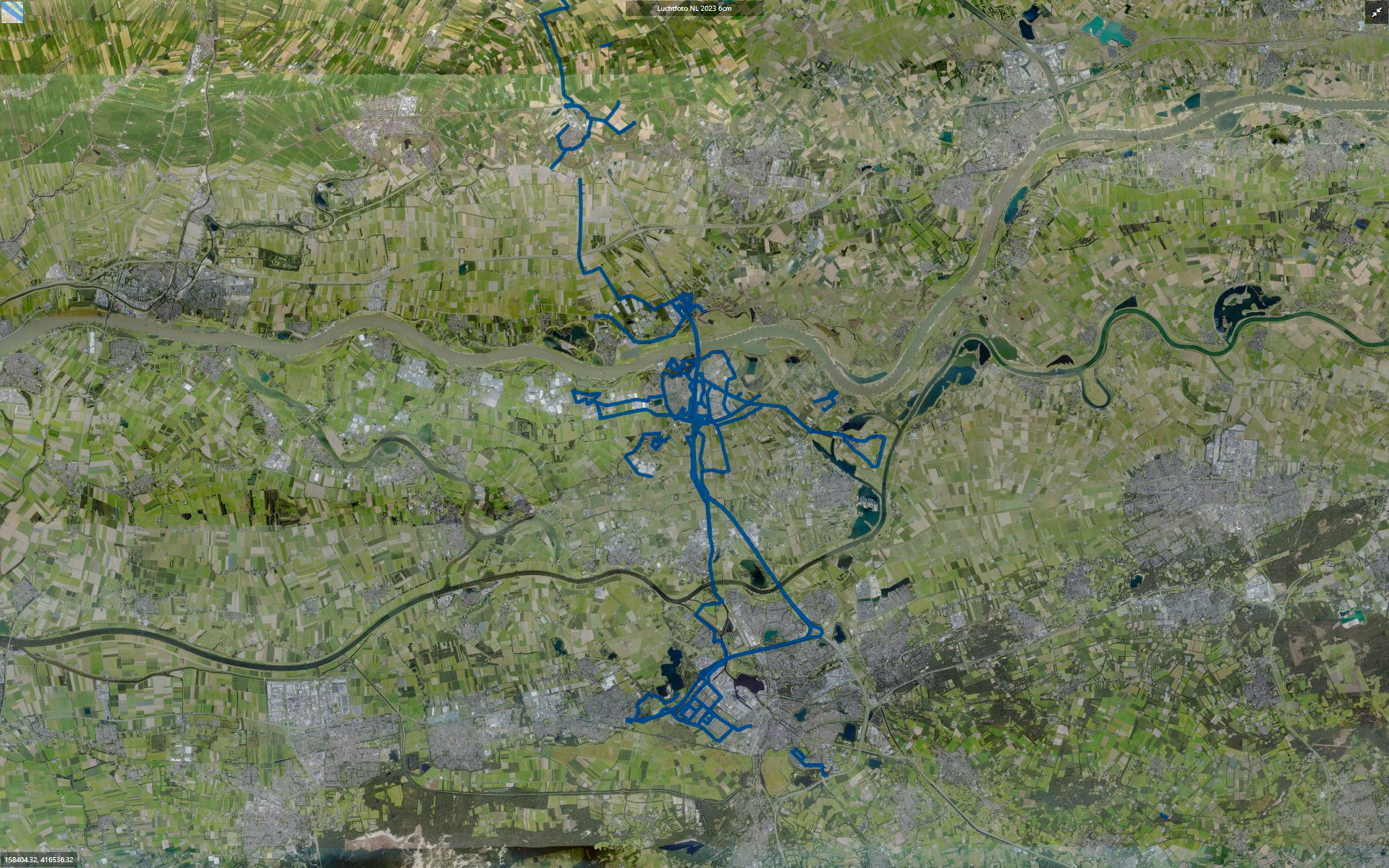
lineString

refers to a type definition used within the Geography Markup Language (GML) for representing geometric properties of linear features, such as lines or curves, in geographic data in a specified spatial reference system (SRS). The longitude and latitude coordinates are in degrees or in meters (depending on the SRS), the height is in meters. Type: gml:pointPropertyType.

customerId

The customer that produces the entry. Type: string.

recordedAt

Timestamp and offset to UTC of the coverage line string. Type: dateTime.

productType

As the third party recordings can refer to many models and features, this property informs the entry's type. Type: string.

processedAt

Timestamp and offset to UTC of the coverage processing. Type: datetTime.

daysSinceCreation

Number of days that the lineString was created. Type: integer.

Exception reporting

When the WFS Coverage service encounters an error while processing a request or when it receives an unrecognized request, this will be returned as an exception report in the response. The format of the XML response is described in OWS Common Implementation Specification:

<ows:ExceptionReport version="1.1.0" 
xmlns:xsi=http://www.w3.org/2001/XMLSchema-instance
xmlns:ows=http://www.opengis.net/ows
xsi:schemaLocation="http://www.opengis.net/ows">
<ows:Exception exceptionCode="{the exception code}">
<ows:ExceptionText>
{the error message}
</ows:ExceptionText>
</ows:Exception>
</ows:ExceptionReport>

For GeoJSON, the response will be:

{ 
"exception": {
"code": null,
"locator": null,
"text": "<the error message>"
}
}

Code examples

Note: you can use Postman to test our web services and try out the code examples below.

Return the coverage line string from the service

Get the features of the Coverage Service

https://atlasapi.cyclomedia.com/api/featureserver/wfs?SERVICE=WFS&VERSION=1.1.0&REQUEST=GetFeature&SRSNAME=EPSG%3A3857&TYPENAME=atlas%3AThirdPartyCoverage&BBOX=585604.6262719473%2C6762953.23091027%2C585388.4598656088%2C6763130.534112506%2CEPSG%3A3857

With a response in XmlGml format:

<?xml version="1.0" encoding="utf-8"?>
<wfs:FeatureCollection xmlns:gml="http://www.opengis.net/gml" xmlns:atlas="http://www.cyclomedia.com/atlas" xmlns:xlink="http://www.w3.org/1999/xlink" xmlns:xsi="http://www.w3.org/2001/XMLSchema-instance" xmlns:ows="http://www.opengis.net/ows" numberOfFeatures="1" timeStamp="2024-03-19T22:23:56.8626614+00:00" xsi:schemaLocation="http://www.cyclomedia.com/atlas https://atlasapi.cyclomedia.com/featureserver/wfs?SERVICE=WFS&amp;VERSION=1.1.0&amp;REQUEST=DescribeFeatureType&amp;TypeName=atlas:ThirdPartyCoverage " xmlns:wfs="http://www.opengis.net/wfs">
    <gml:featureMembers>
        <atlas:ThirdPartyCoverage gml:id="coverageId_d0f2cfdd-977d-4e50-9405-7910d21231c3">
            <atlas:lineString>
                <gml:LineString srsName="urn:x-ogc:def:crs:EPSG:3857">
                    <gml:posList srsDimension="3">585585.598 6762994.684 48.142 585578.547 6763005.049 48.033 585579.374 6763018.656 48.009 585579.857 6763031.679 48.032</gml:posList>
                </gml:LineString>
            </atlas:lineString>
            <atlas:customerId>00000000-803f-452e-a41c-71100f258f40</atlas:customerId>
            <atlas:recordedAt>2023-09-22T00:00:00.0000000</atlas:recordedAt>
            <atlas:productType>street-hive</atlas:productType>
            <atlas:processedAt>2023-09-22T00:00:00.0000000</atlas:processedAt>
            <atlas:daysSinceCreation>179</atlas:daysSinceCreation>
        </atlas:ThirdPartyCoverage>
        <atlas:ThirdPartyCoverage gml:id="coverageId_41898c19-f0e7-43d4-ba85-6b976ee7cd3a">
            <atlas:lineString>
                <gml:LineString srsName="urn:x-ogc:def:crs:EPSG:3857">
                    <gml:posList srsDimension="3">585544.728 6763000.125 47.991 585546.339 6763008.738 47.972 585548.424 6763016.592 47.959</gml:posList>
                </gml:LineString>
            </atlas:lineString>
            <atlas:customerId>00000000-803f-452e-a41c-71100f258f40</atlas:customerId>
            <atlas:recordedAt>2023-10-02T00:00:00.0000000</atlas:recordedAt>
            <atlas:productType>street-hive</atlas:productType>
            <atlas:processedAt>2023-10-02T00:00:00.0000000</atlas:processedAt>
            <atlas:daysSinceCreation>169</atlas:daysSinceCreation>
        </atlas:ThirdPartyCoverage>
    </gml:featureMembers>
</wfs:FeatureCollection>