Aerial Map Service

With our Aerial Map Service, you can use aerial imagery (LuchtfotoNL) in your own mapping application (GIS). The service is available as a Web Map Service (WMS), Web Map Tile Service (WMTS), or as a Tile Map Service (TMS).

Note: the Aerial Map Service is currently only available for the Netherlands.

Picture

Obtain credentials

Before you can start using the Aerial Map Service, you need to have credentials. If you do not have them yet, please use this form to request access.

Request your credentials
Picture

Read the documentation

Everything you need to know about the use of our Aerial Map Service can be found below in the Service Documentation.

Read the service documentation
Picture

View our examples

To help you getting started, we have created a set of code examples for you. You can use them as a basis for your own service requests.

Explore the code examples

Service Documentation

Understanding TMS pyramids

As a Tile Map Service (TMS), all imagery is pre-rendered and stored as tiles in a pyramid grid format. Each tile is 256 x 256 pixels in size.

Two pyramids are supported, one for the RD coordinate system ('Rijksdriehoekstelsel', EPSG: 28992) defined by Geonovum, and one for Web Mercator (EPSG: 3057, sometimes also known as EPSG: 900913).

The Geonovum pyramid is defined as:

The Google Web Mercator pyramid is defined as:

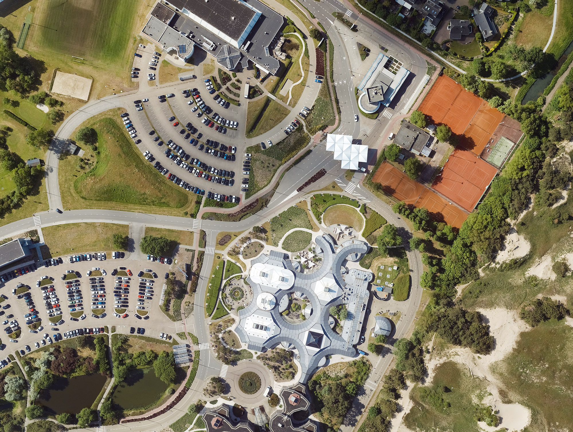
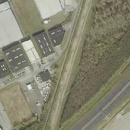
About the Aerial Map Service

For customers in the Netherlands that use our aerial imagery (LuchtfotoNL), we offer this data also as a web service in various OGC standards. This allows you to load the data into your GIS application by using one of the service URLs explained below.

Authentication is done through basic authentication with a username and password. You need to add this to your service configuration, or add it to each service request.

Web Map Service (WMS)

The URL of the Aerial Map Service in WMS format is:

https://atlasapi.cyclomedia.com/api/geodata/wms

Imagery of each year is provided as separate layers, for example 'NL_aerial_2018_10cm' for the year 2018. By using a GetCapabilities request, you can retrieve a list of all available layers.

For more information about the WMS standard, see the OGC documentation: https://www.ogc.org/standard/wms/

Web Map Tile Service (WMTS)

For aerial imagery from 2016 onwards, a WMTS is available which has the same layers as the WMS. The WMTS is available in RD coordinates only (EPSG: 28992). You can access the WMTS here:

https://atlasapi.cyclomedia.com/api/geodata/wmts/cyclowmts?
service=WMTS

Similarly as for the WMS, you can retrieve the list of layers through a GetCapabilities request:

https://atlasapi.cyclomedia.com/api/geodata/wmts/cyclowmts?
service=WMTS&request=GetCapabilities

For more information about the WMTS standard, see the OGC documentation: https://www.ogc.org/standard/wmts/

Tile Map Service (TMS)

The TMS is served for two coordinate systems: RD (EPSG: 28992) and Web Mercator (EPSG: 3057). The difference between the two is explained in more detail in the section 'Understanding TMS pyramids'.

Service URLs per year for RD

2013-2015 (replace YYYY by 2013, 2014, or 2015):

https://atlasapi.cyclomedia.com/api/image/tms/layer/YYYY_tiled/tiles/tile/pwecmhoslufostorage/lufoYYYYtiled/YYYY_tiled/##z##/##x##/##y##.jpg

From 2016 onwards (replace YYYY by 2016 or later):

https://atlasapi.cyclomedia.com/api/image/tms/layer/lufoYYYYtiled/tiles/tile/pwecmhoslufostorage/lufoYYYYtiled/lufoYYYYtiled/##z##/##x##/##y##.jpg

Service URLs per year for Web Mercator

2015:

https://atlasapi.cyclomedia.com/api/image/tms/layer/2015_tiled_mercator/tiles/tile/pwecmhoslufostorage/nl-mercator2015tiled/
2015_tiled_mercator//##z##/##x##/##y##.jpg

2016, 2017, 2020, 2021, 2022 (replace YYYY by 2016, 2017, 2020, 2021, 2022):

https://atlasapi.cyclomedia.com/api/image/tms/layer/YYYY_tiled_mercator/tiles/tile/pwecmhoslufostorage/nl-mercatorYYYYtiled/
nl-mercatorYYYYtiled/##z##/##x##/##y##.jpg

2018, 2019 (replace YYYY by 2018, 2019):

https://atlasapi.cyclomedia.com/api/image/tms/layer/YYYY_tiled_mercator/tiles/tile/pwecmhoslufostorage/nl-mercatorYYYYtiled2/
nl-mercatorYYYYtiled2/##z##/##x##/##y##.jpg

For more information about the TMS standard, see: https://en.wikipedia.org/wiki/Tile_Map_Service

Code examples

Note: you can use Postman to test our web services and try out the code examples below.

Retrieve a WMTS tile

Retrieve an aerial imagery tile from WMTS in RD coordinates.

Example request for an aerial WMTS tile in RD:

https://atlasapi.cyclomedia.com/api/geodata/wmts/cyclowmts?layer=NL_aerial_2020_10cm&style=default&tilematrixset=EPSG%3A28992&Service=WMTS&Request=GetTile&Version=1.0.0&Format=image%2Fjpeg&TileMatrix=EPSG%3A28992%3A11&TileCol=1006&TileRow=969

The output for this request is the following tile:

Retrieve a TMS tile in RD

Retrieve an aerial imagery tile from TMS in RD coordinates.

Example requests for an aerial TMS tile in RD:

https://atlasapi.cyclomedia.com/api/image/tms/layer/lufo2016tiled/tiles/tile/pwecmhoslufostorage/lufo2016tiled/lufo2016tiled/13/4158/3354.jpg

The output for this request is the following tile:

https://atlasapi.cyclomedia.com/api/image/tms/layer/lufo2021tiled/tiles/tile/pwecmhoslufostorage/lufo2021tiled2/lufo2021tiled2/13/4158/3355.jpg

The output for this request is the following tile:

Retrieve a TMS tile in Web Mercator

Retrieve an aerial imagery tile from TMS in Web Mercator coordinates.

Example request for an aerial TMS tile in Web Mercator

https://atlasapi.cyclomedia.com/api/image/tms/layer/2021_tiled_mercator/tiles/tile/pwecmhoslufostorage/nl-mercator2021tiled/nl-mercator2021tiled/19/270123/
174495.jpg

The output for this request is the following tile: