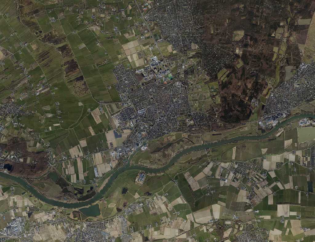
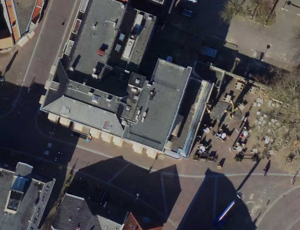
Overview of parameters
layer
The WMS layer that delivers the rendered images, e.g. 'NL_aerial_2019_10cm'. The format for the layers is as follows (where YYYYis the year):
For 2008 to 2011, 2013 to 2017, and 2019 to 2021: 'NL_aerial_YYYY_10cm'.
For 2022 onwards the format is 'NL_aerial_YYYY_6cm'.
srs
The EPSG code of the spatial reference system used for the coordinates. Do not use prefixes, only the EPSG code itself. Only used for RenderByLocation2D.
x or lon
The X coordinate in meters for a projected coordinate system, or the longitude in degrees for a geographic coordinate system. Only used for RenderByLocation2D.
y or lat
The Y coordinate in meters for a projected coordinate system, or the latitude in degrees for a geographic coordinate system. Only used for RenderByLocation2D.
country
Abbreviation of the country (2 characters, 'NL' in this case). Only used for RenderByAddress.
address
The address for which the image will be retrieved and centered. Only used for RenderByAddress.
width
The width of the generated image in pixels. Default is 1024 pixels, maximum is 2048 pixels.
height
The height of the generated image in pixels. Default is 768 pixels, maximum is 2048 pixels.
scale
Automatically scales to the resolution of the image layer. Default is 1.0 or 'auto' if this parameter is omitted.
res
Absolute resolution in meters per pixel. Overrides 'scale' parameter.
apiKey
Your API key. If you do not have an API Key already, you can request one through our Service Desk.
